About the Kama Cliffs Trail
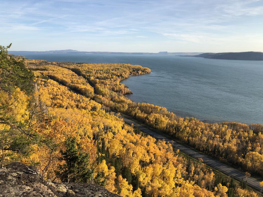
The Kama Cliffs Trail is a 7.3-kilometre loop located 25 kilometres east of Nipigon, offering one of the most photographed viewpoints along Ontario’s North Shore. Rated moderate to difficult, the trail features a mostly moderate path with one steep ascent that rewards hikers with incredible panoramic views of the Lake Superior National Marine Conservation Area, including Nipigon Bay, its islands, Kama Point, and the vast horizon of Lake Superior. This multi-use, non-motorized trail is ideal for those seeking both a physical challenge and unforgettable scenery.
Access the trail across from Kama Bay Road, just 0.5 kilometres west of the Jackpine River Bridge. After parking in the area at Kama Bay Road and Hwy 17, cross the highway carefully, and the trailhead sign marks the start of the loop. The path winds through rugged terrain, including forested sections and open areas that gradually lead to the steep climb.
Once at the summit, take time to rest, take photos, and soak in the awe-inspiring vistas before completing the loop. The combination of challenge, natural beauty, and sweeping views makes the Kama Cliffs Trail a must-visit for hikers and nature enthusiasts exploring Nipigon.
The trail is maintained by the Singletrack Society Trails Association, whose volunteers work to keep this scenic and rugged route accessible for all who love to explore.